Florida Pummeled by Catastrophic Storm Surges and Life-Threatening Winds as Hurricane Idalia Makes Landfall
ORLANDO, Fla.—Hurricane Idalia came ashore Wednesday in Florida’s Big Bend region before churning into Georgia, threatening catastrophic storm surges and life-threatening winds as the latest in an extraordinary year of weather-related disasters in the United States.
The hurricane made landfall near Keaton Beach as a Category 3 storm at around 7:45 a.m., packing winds near 120 miles an hour with gusts even higher. The National Hurricane Center said storm surges of 12 to 16 feet were possible in the sparsely populated Big Bend region, where the peninsula curves into the panhandle, although much of the Gulf Coast braced for high water.
Storm surges also were forecast for Florida’s east coast, as Idalia eventually would emerge on the other side of the peninsula. Hurricane-strength winds were predicted in north Florida, southern Georgia and southern South Carolina as Idalia moved inland, although the hurricane weakened quickly after making landfall and even faster weakening was expected through the rest of the day. The eye of the storm had moved beyond Florida and into Georgia by mid-day.
Idalia reached a peak intensity of 132 mph before making landfall, briefly putting the hurricane beyond the threshold of a Category 4 storm, defined by winds of 130 to 156 mph. Heavy rains and possible tornadoes also were possible in Florida, Georgia and the Carolinas.
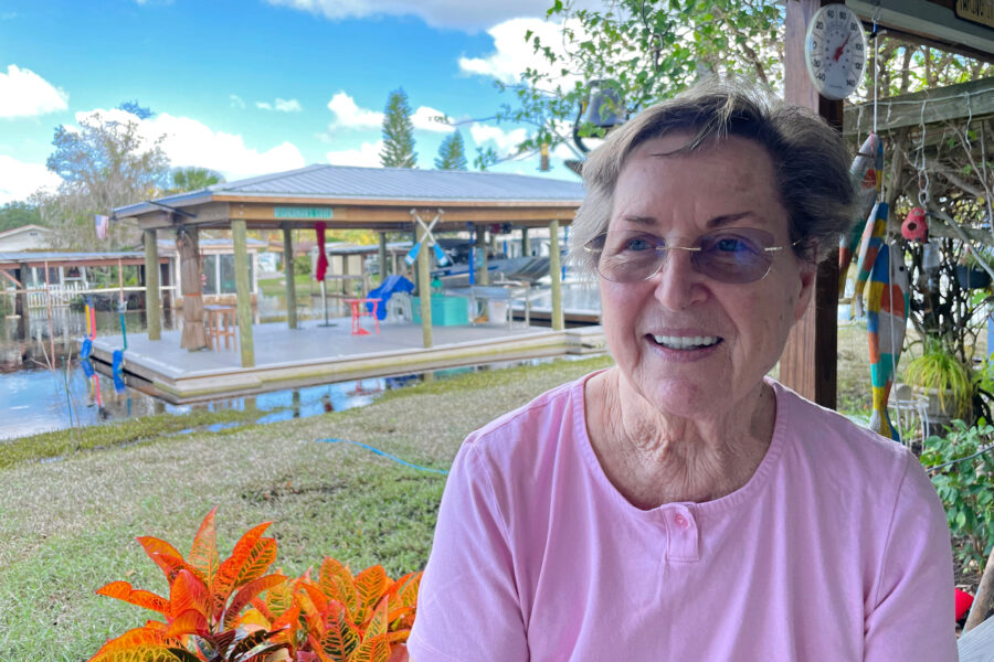
“We’re nervous,” said Ginger Livingston, 52, who lives in the small Big Bend community of Perry, some 52 miles southeast of Tallahassee, very near where the hurricane struck Florida. Sustained winds of 62 mph were recorded here with gusts up to 85 mph, and the community was believed to be among the hardest-hit.
Livingston had planned to ride out Idalia with family members and friends at a funeral home owned by a friend, which was a sturdier structure than the wood-frame home she shared with her husband. “They’re taking it seriously,” she said of residents in Perry. “They’re not taking it lightly. They’re expecting it to be pretty bad.”
Idalia arrived in Florida at the height of an unprecedented hurricane season characterized by record warm water temperatures that were near 90 degrees Fahrenheit on Tuesday in the Gulf of Mexico. The warm water powered a rapid intensification of Idalia, as Hurricane Franklin also swirled in the Atlantic Ocean—the first dual hurricanes to appear in the Atlantic basin in August since satellite monitoring began, it was believed. Franklin was not forecast to threaten land.
Idalia forged a path through the gulf toward Florida over a “maximum of oceanic heat content,” according to the National Hurricane Center. The water temperatures combined with low wind shear meant conditions favored rapid intensification, a phenomenon that is becoming more common because of climate change.
“This year, from a hurricane perspective, we’re kind of in unchartered territory,” said Allison Wing, an associate professor in Florida State University’s Department of Earth, Ocean and Atmospheric Science.
Meteorologists had begun the season with more uncertainty than normal because of this unusual confluence of factors. Warmer water temperatures tend to enhance hurricane activity, but an El Niño was expected to temper activity. El Niño is a naturally occurring climate phenomenon that begins with warm water in the Pacific Ocean and affects weather patterns worldwide.
“The Atlantic has been pretty busy, and that is not normal for an El Niño. But the water is so warm, so the climate effects just aren’t occurring,” Wing said. “Normally you get a lot of shear. This year the shear has been average, even a little lower.”
Florida Gov. Ron DeSantis declared a state of emergency in advance of Idalia in 49 counties, and there were evacuation orders in 22 counties. Schools also were closed in 50 counties, along with several colleges and universities. The Florida National Guard was activated, and state officials were staging supplies like ready-to-eat meals and bottled water. Some 278,000 customers were without power by mid-day Wednesday in Florida.
The officials said the hurricane’s timing in Florida posed a challenge, as the storm was forecast to move inland during the day, leaving first responders to initiate rescues after nightfall, when they would face dangerous conditions like debris and downed power lines in the dark.
“We’ll be assessing on the ground and mobilizing any additional resources as is necessary,” said DeSantis, a GOP presidential hopeful who took a break from the campaign trail to address the hurricane in Florida. He said an ancient oak tree split in half during the storm and fell on the governor’s residence in Tallahassee, but no one was hurt.
Idalia was the latest in a slew of weather-related disasters to menace the United States this year, including a wildfire in Maui that was the country’s deadliest in more than a century and Hilary, the first tropical storm to hit Southern California in 84 years. Deanne Criswell, administrator of the Federal Emergency Management Agency, told journalists at the White House on Tuesday that her agency had received an unprecedented number of disaster requests from governors because of the extreme weather. She described the situation as a “new normal.”
More intense and damaging hurricanes like Idalia are anticipated as the global climate warms, said Kim Wood, associate professor in the department of Hydrology and Atmospheric Sciences at the University of Arizona.
“It’s never easy to see what you’ve expected actually happen and impact people. That’s the worst thing,” Wood said. “Lives will be changed by this storm.”
Disclaimer: The copyright of this article belongs to the original author. Reposting this article is solely for the purpose of information dissemination and does not constitute any investment advice. If there is any infringement, please contact us immediately. We will make corrections or deletions as necessary. Thank you.


